

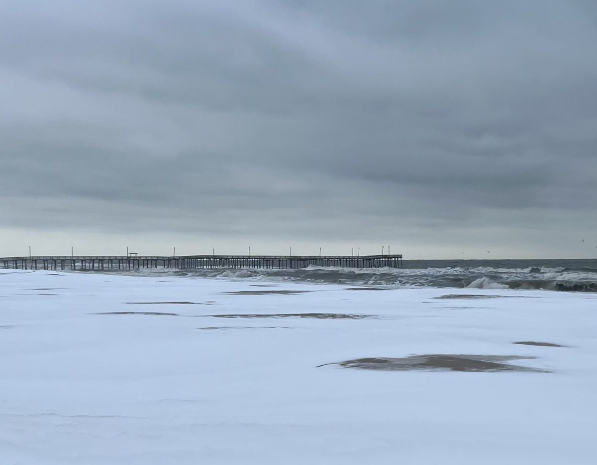
On the morning of January 22, 2025, Princess Anne’s staff and students awakened to the wonderful sight of a blanket of pillowy snow freshly deposited across Virginia Beach. Virginia Beach got three inches of snow (and a resulting three days off from school). It had been years since it last received that much, back in February 2022.
Virginia Beach’s weather is often a confusing animal, sometimes unendingly beautiful, sometimes hopelessly erratic, and sometimes hot enough to melt you down into a sweaty puddle. But why does Virginia Beach have such a vast repertoire of weather patterns to throw at us? See below:
The Appalachian Mountains
The Rain Shadow Effect
The principal effect the Appalachians have on Virginia Beach’s weather is the rain shadow effect. Air usually comes from the west, meaning air coming over the West Virginian Appalachians will rise in elevation. The air cools because of the altitude and condenses to form rain clouds, which dump precipitation all over the mountain.
Since there’s no water left in the air, it is warmer and drier when it reaches Virginia Beach. Think of it as someone “squeezing a sponge” over West Virginia and leaving us with a dry sponge instead.
Lee troughs
Although not a prominent influence on our weather, lee troughs are, as WAVY Meteorologist Don Slater describes “semipermanent, elongated areas” of low pressure on the side of the mountain sheltered from the wind. Low-pressure zones aggravate more intense storms, be it rain, thunder, or snow, making inclement weather more common and harsh.
Water Bodies
High Specific Heat
High specific heat is the scientific term for the energy it takes to heat a certain substance. It takes longer to heat a brick in the microwave (don’t try this at home) than it does a plate of Macaroni and Cheese.
The same effect happens with the Atlantic Ocean and the Chesapeake Bay. Since water (the brick) is harder to heat up than the land surrounding it (the Macaroni and Cheese), it changes temperature less dramatically. In the summer, Virginia Beach stays cooler because the water doesn’t get above 80 degrees, and in the winter, it keeps us warmer, as the water doesn’t drop below 38 degrees. WAVY Meteorologist Jeremy Wheeler describes that in the summer, temperatures further inland can “be about 5-10 degrees above temperatures in the metro area”, and that temperature can be another “5-10 degrees cooler right near the shore.”
Humidity
The adage that a dry heat isn’t quite as bad as a humid heat is one Virginia Beach residents are constantly citing as to why the summers can be so miserably hot. Moistened air coming from off the ocean makes the air more humid, impeding our bodies’ ability to evaporate sweat, which is what cools us down. And the effect stacks up as the actual heat gets hotter. At 80 degrees and 60% humidity, the heat index only gets to 82 degrees, but at the same humidity, 100 degrees will produce a heat index of 129 degrees.
Snow
Have you noticed that inland Virginia seems to receive more snow than Virginia Beach? Well, that again comes back to the ocean. Our general scarcity of snow in comparison to further western parts of the state can be explained, again, by the specific heat of the Atlantic Ocean. The water will only get down to around 40 degrees, so the air surrounding it has a harder time making snow.
El Niño and La Niña
El Niño and La Niña are climate phases dictated by the movement of a mass of hot water in the Pacific with globally reaching effects.
Differences between La Niña and El Niño
La Niña is when there are strong east-to-west winds in the Pacific Ocean, moving an area of warm water towards Asia and away from the U.S. When upwelling of cold water from the bottom of the ocean off the Western Coast pushes the jet stream northward, it brings cold air down from the poles towards the Pacific Northwest, however, it has the inverse effect on the southern U.S., making Virginia drier and warmer.
El Niño, however, is when the wind quiets down and that warm water can move to the east and down south, making the jet stream move with it, bringing wetter and colder weather to Virginia.
We are currently in a weak La Niña, which the Climate Prediction Center believes will be finished by sometime in spring, meaning that Virginia Beach should anticipate a slightly warmer and drier winter than normal. Afterward, a neutral period, between the two phases, should continue into the fall.
Climate Change
Although there may be day-to-day events that don’t fit into the overall narrative of a warming planet, like the snowstorm that had PA out of school for three days this January, the overall shift in climate behavior takes a long time, long enough to where it is hard to recognize the pattern with the human eye. Slater explains in an email that “Climate Change is so slow that older people (like me!) forget that they have a point of reference when they were younger…winters WERE colder & summers WERE milder.”
How does it affect our day-to-day weather?
As climate scientists warn of the globally hottest January on record, Slater describes that while the average high temperature in July for Norfolk used to be 87 degrees, “it’s now an average of 90.” Temperature, precipitation amounts, and flooding frequencies have increased and will continue to increase, Virginia Beach is expected to get on average two more inches of precipitation per year in 2050-2079 as compared to the 1990-2019 period (that got approximately 50 inches).
In parallel to precipitation increases, flooding is going to become more likely, and snow will be less likely in the coming years. Today, 24.1% of properties in Virginia Beach are at risk of flooding, compared to 42.9% in 30 years. Snow should “become even less common over the next decade, but it likely won’t go away completely,” according to Wheeler.